Future of Navigation’: 7 Bold Predictions About Satellites”
Satellites already steer our lives: they put turn-by-turn directions on our phones, guide planes and ships, and stamp time into the clocks that run financial markets. But the next decade will be far more transformative. New constellations, multi-frequency GNSS, satellite augmentation services, LEO signals, anti-jamming advances, and even non-GNSS satellite-derived techniques will change how we find, track, and time things. This article lays out 7 clear predictions for how satellites will shape the future of navigation, why each prediction matters, what technical and policy forces are pushing them, and practical takeaways for companies, governments, and technologists preparing for a satellite-first navigation future.

Table of Contents
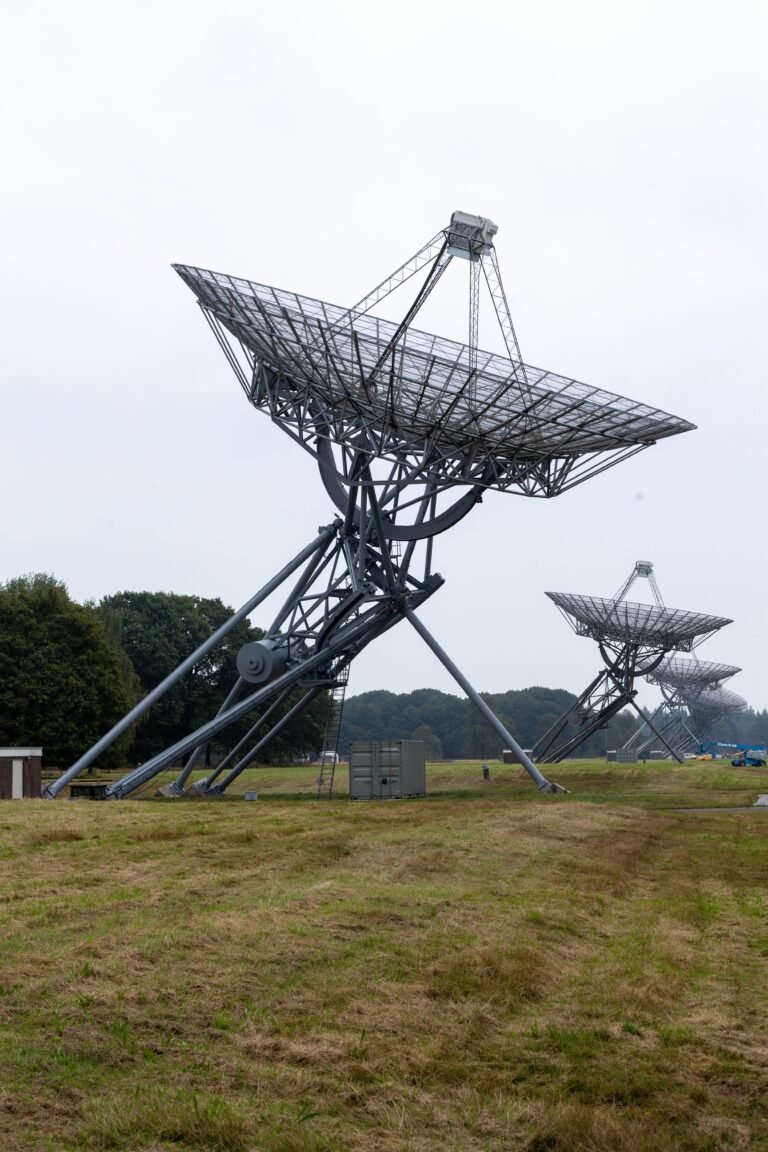
Prediction 1 — Multi-constellation, multi-frequency receivers become the baseline
Short version: smartphones, vehicles, drones, and industrial trackers will routinely use signals from GPS, Galileo, BeiDou, GLONASS and others together on multiple frequencies.
Why: Single-constellation receivers are brittle in urban canyons, under foliage, or at high latitudes. Multi-constellation, multi-frequency receivers improve availability, geometry, and ionospheric corrections—translating into better accuracy and fewer outages. Industry surveys and GNSS trend reports point to multi-constellation/multi-frequency adoption as the dominant 2025 baseline. Canal Geomatics
Impact: For GNSS users this means fewer “lost-fix” moments in cities and better baseline accuracy for mapping, logistics, and autonomous systems. For manufacturers, it raises design complexity (antennae, RF front ends) but reduces the need for expensive augmentation in many scenarios.
Actionable step: If you design a navigation product today, assume that the receiver will see signals from five or more constellations and plan software for multi-constellation position solutions and agile signal selection.
Prediction 2 — High-accuracy satellite services go mainstream (decimeter → centimeter)
Short version: Satellite-delivered correction services that yield decimeter- or centimeter-level horizontal positioning will be widely available and increasingly free/cheap for many use cases.
Why: The Galileo High Accuracy Service (HAS) went into initial service in 2023 and has shown stable performance as an open correction broadcast—proof that space-based, subscription-free correction is feasible and useful for many users. Public performance reporting shows steady HAS improvements and growing adoption. GSC Europa+1
How it changes navigation: Where Survey-grade RTK used to require base stations or commercial networks, users will be able to receive satellite corrections (or low-cost regional SBAS/PPP) to achieve survey-level accuracy without heavy ground infrastructure. That lowers the barrier for precision agriculture, construction, autonomous machines, and mapping.
Business implications: Expect new service tiers—free broadcast corrections for broad markets (HAS-style), and paid, authenticated high-integrity corrections for critical infrastructure and defense.
Prediction 3 — LEO and non-GNSS satellite signals augment classical GNSS PNT
Short version: LEO constellations and alternative satellite signals will be used for Positioning, Navigation, and Timing (PNT) augmentation or even primary navigation in some contexts.
What’s happening now: Researchers and industry are actively studying how signals from large LEO constellations (e.g., communications sats like Starlink) can be used to derive navigation observables, and early technical work shows the feasibility of using LEO pilot tones and OFDM signals for positioning and timing. Comprehensive technical studies and conference presentations in 2024–2025 analyze these possibilities in depth. Navi
Why it matters: LEO satellites are closer and move faster across the sky, offering rapid geometry changes and plentiful visibility—even in urban valleys—potentially improving short-term fix robustness and time-to-first-fix. Combined with traditional GNSS, LEO signals can harden PNT solutions for devices and vehicles.
Practical caveat: Using LEO signals for navigation requires new receiver designs and standards, plus regulatory and spectral coordination to allow open access to suitable signal structures. But expect hybrid GNSS+LEO modules to appear in advanced geolocation products and industrial fleets by the late 2020s.
Prediction 4 — Resilience: anti-jamming, authentication and hybrid PNT take priority
Short version: Because spoofing and jamming are now real operational hazards, resilience—through anti-jamming tech, cryptographic authentication, and hybrid navigation stacks—will become mandatory for safety-critical systems.
Context: Reports and policy discussions in 2024–2025 highlight a worrying rise in GNSS interference incidents (including regional jamming and reported disruptions affecting aviation). International aviation bodies and national security agencies are explicitly raising alarm and calling for action. Reuters
Technologies to watch:
- Antenna and RF defenses: Controlled-reception pattern antennas (CRPA) and null-steering help hardware resist jamming.
- Signal authentication: Authenticated civil signals and provider-level OSNMA-like methods are being standardized to make spoofing detectable.
- Hybrid PNT: Combining GNSS with inertial navigation, visual odometry, LiDAR, cellular timing, or magnetometry gives navigation systems fallback paths. DHS and other agencies are already issuing best-practice guidance for resilient PNT. Department of Homeland Security
Implication: Autonomous vehicles, aviation, maritime navigation, and critical infrastructure will demand certified, resilient stacks—raising device cost but dramatically improving safety.
Prediction 5 — Satellites enable ubiquitous, trusted timing for distributed systems
Short version: Satellite time (GNSS time) will continue to be the global time reference, but new satellite methods and distributed clock architectures will improve holdover and trust.
Why time matters: Many systems—financial networks, telecom, power grids—need accurate timing. GNSS provides global time, but a time outage or spoof can cascade across markets and infrastructure. New approaches (chip-scale atomic clocks, networked timing using LEO and GEO signals, and improved holdover) are being pursued to minimize system risk. Research into atomic clocks and commercial purchases of GNSS-RO and timing services are increasing. Center for Global Security Research
Satellites’ role: In addition to GNSS time, satellite constellations are becoming platforms for time transfer improvements—enabling authenticated time distribution and better redundancy. Expect standards and contractual requirements for timing resilience in next-generation critical systems.
Practical step: Operators of telco and finance systems should add hardened timing layers (local atomic clocks, network time redundancy, authenticated GNSS solutions) to their architectures.
Prediction 6 — New satellite sensors and in-space tech push navigation into novel domains (quantum, magnetics, optical)
Short version: Navigation will be augmented by new satellite-borne sensors and on-device quantum/magnetic technologies that reduce dependence on GNSS for short-to-medium holdover.
Examples and evidence: NATO and research centers are investing in quantum magnetometers and quantum inertial sensors as alternative PNT sources; pilot projects and trials in 2022–2025 showed promising holdover characteristics for quantum sensors on ships and vehicles. EU-backed projects are also developing efficient sensors that will support satellite navigation and autonomous platforms in harsh environments. CMRE+2Reuters
What changes: Imagine autonomous drones that can navigate precise corridors using a blend of satellite fixes, quantum-augmented inertial navigation, and magnetometer cues—maintaining accurate paths even under GNSS denial for longer durations than today’s classical INS systems allow.
Limitations: Many of these technologies are lab-to-field transitions and will be expensive initially. But by the early 2030s, hybrid stacks incorporating quantum sensors for high-value platforms (military, commercial aviation, cargo shipping) will be realistic.
Prediction 7 — Navigation becomes a federated service: policies, marketplaces, and regional systems
Short version: Navigation will be less about a single global service and more about federated offerings—regional augmentation services, commercial correction marketplaces, and policy-driven assurance layers.
Why: Geopolitics and regional needs are driving national/regional investments in navigation capacity (for example, Japan expanding QZSS, Europe’s Galileo HAS, and national space programs adding local augmentation satellites). These build redundancy and sovereignty into PNT supply chains. AP News
Market evolution: Expect a layered marketplace where:
- Public GNSS remains the global base layer (GPS, Galileo, BeiDou),
- Regional SBAS and PPP providers (public and private) supply corrections or integrity,
- Commercial players offer premium authenticated and high-integrity PNT as a paid service, and
- Enterprises compose multi-provider contracts for SLA-backed positioning and timing.
Policy implications: Procurement for critical infrastructure and mobility (aviation, ports, rail) will require contractual navigation assurances (ground-station geofencing, authenticated corrections, diversity clauses). Governments will play a stronger role in shaping PNT markets and guaranteeing access.
Related-items / Impact & actions table
| Prediction | Primary beneficiaries | Near-term action (0–3 yrs) | Long-term payoff (3–10 yrs) |
|---|---|---|---|
| Multi-constellation receivers | Consumer devices, AVs, drones | Design for multi-constellation support | Fewer outages in urban/remote areas |
| High-accuracy services | Survey, agri, construction | Test Galileo HAS & regional PPP services | Lower cost precision positioning |
| LEO/non-GNSS signals | Resilient industrial PNT | Follow LEO PNT research; plan hybrid receivers | Faster fixes and improved visibility |
| Resilience & anti-spoofing | Aviation, defense, finance | Adopt CRPA, auth signals, hybrid PNT | Safer navigation under threat |
| Trusted timing | Telco, finance, power grids | Add holdover clocks and time diversity | Reduced systemic time outage risk |
| New sensors (quantum, magnetics) | Military, aerospace, high-value assets | Track trials, partner with labs | Robust denial-resistant navigation |
| Federated PNT services | Cities, operators, governments | Craft multi-provider SLAs | Sovereign, assured navigation markets |
FAQs (6)
Q1: Will GPS stop being the primary navigation system?
A: GPS will remain a foundational layer, but users will increasingly rely on a mix of constellations and augmentation services. The practical navigation solution will be multi-source rather than single-system dependent.
Q2: Can Starlink/LEO sats replace GNSS?
A: LEO communications constellations can augment GNSS and provide valuable observables for positioning and timing, but they are not a drop-in replacement today. Standards, access to suitable signals, and receiver support are needed before LEO PNT becomes a mainstream alternative. Early research and technical studies show promising results. Navi
Q3: How big is the jamming/spoofing risk?
A: It’s real and rising—incidents reported in aviation and regional jamming events have pushed regulators to act. Organizations must assume GNSS interference is possible and build resilient PNT stacks (hardware and software) to mitigate it. Reuters
Q4: Will centimeter accuracy be free?
A: Some high-value correction broadcasts (like Galileo HAS) offer free or low-cost corrections for many users, but paid authenticated/guaranteed services will exist for critical operations needing integrity and legal SLAs. GSC Europa
Q5: When will quantum navigation be practical?
A: Quantum sensors showed significant progress in trials by 2024–2025; wide operational adoption will likely be phased—first in military and high-end aviation, then gradually in commercial systems through the 2030s as cost and ruggedization improve. Center for Global Security Research
Q6: What should companies do now to prepare?
A: Start by auditing PNT dependency, adopt multi-constellation receivers, test high-accuracy correction services, plan for time redundancy, and evaluate hybrid PNT architectures. For safety-critical systems, require navigation resilience in procurement contracts.
Conclusion — Satellites will make navigation more accurate, resilient, and market-driven
Over the next decade, satellites will reshape navigation from a single-provider utility into a layered, resilient, and competitive ecosystem. Expect commodity devices to gain multi-constellation and multi-frequency capability; high-accuracy satellite corrections to remove some need for local base-station infrastructure; LEO and alternative satellite signals to augment GNSS; and quantum and magnetic sensors to provide denial-resistant holdover. At the same time, geopolitical and safety pressures will make authenticated signals, anti-spoofing measures, and contractual navigation assurance non-negotiable for critical sectors.
If you build or buy navigation systems, treat the coming era as one of optionality: design for multi-source inputs, insist on resilience and timing redundancy, and plan procurement that can stitch together public, regional, and commercial satellite PNT services. The result will be navigation that’s faster, safer, and usable in places where GPS alone couldn’t reliably reach.